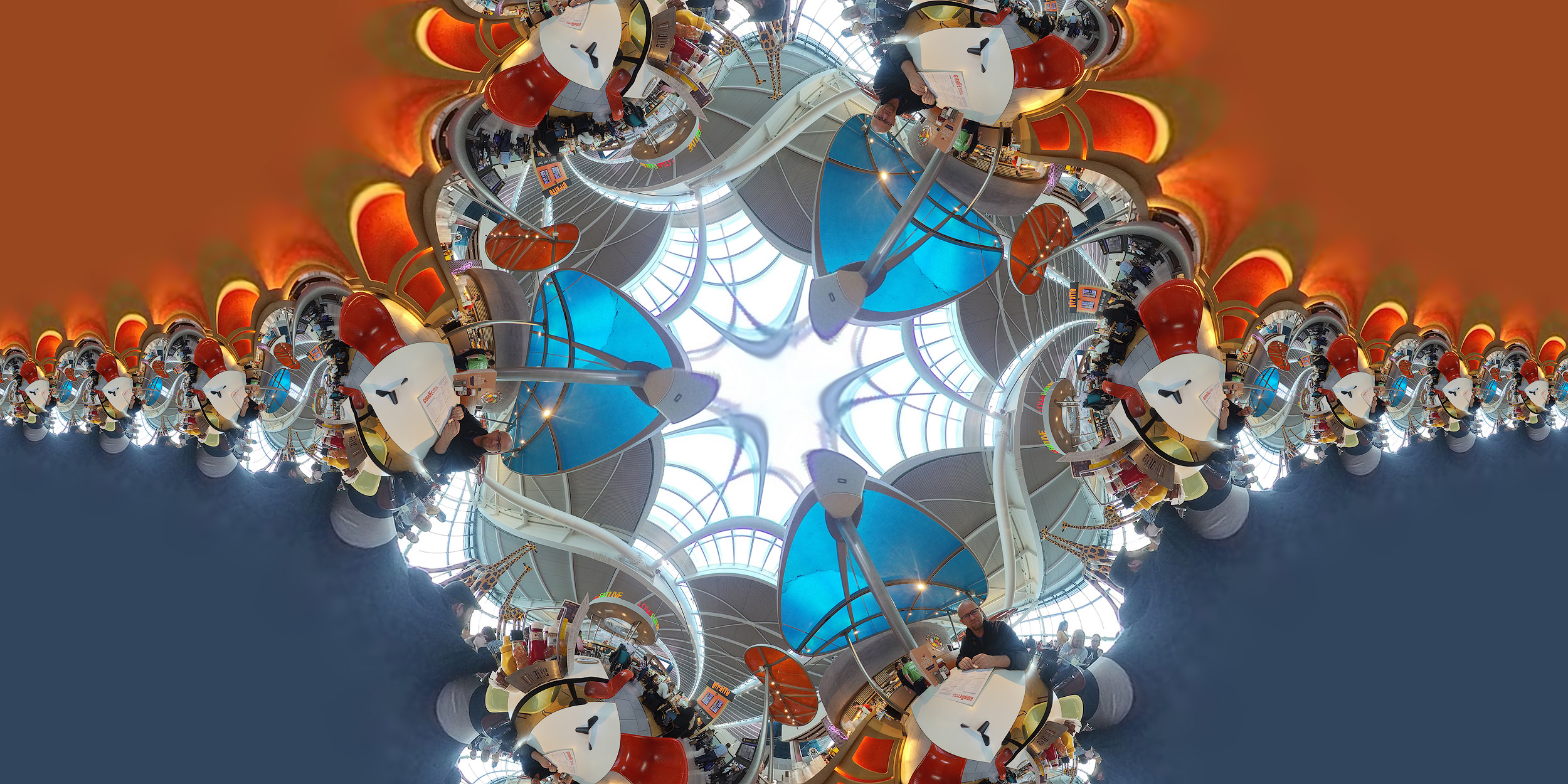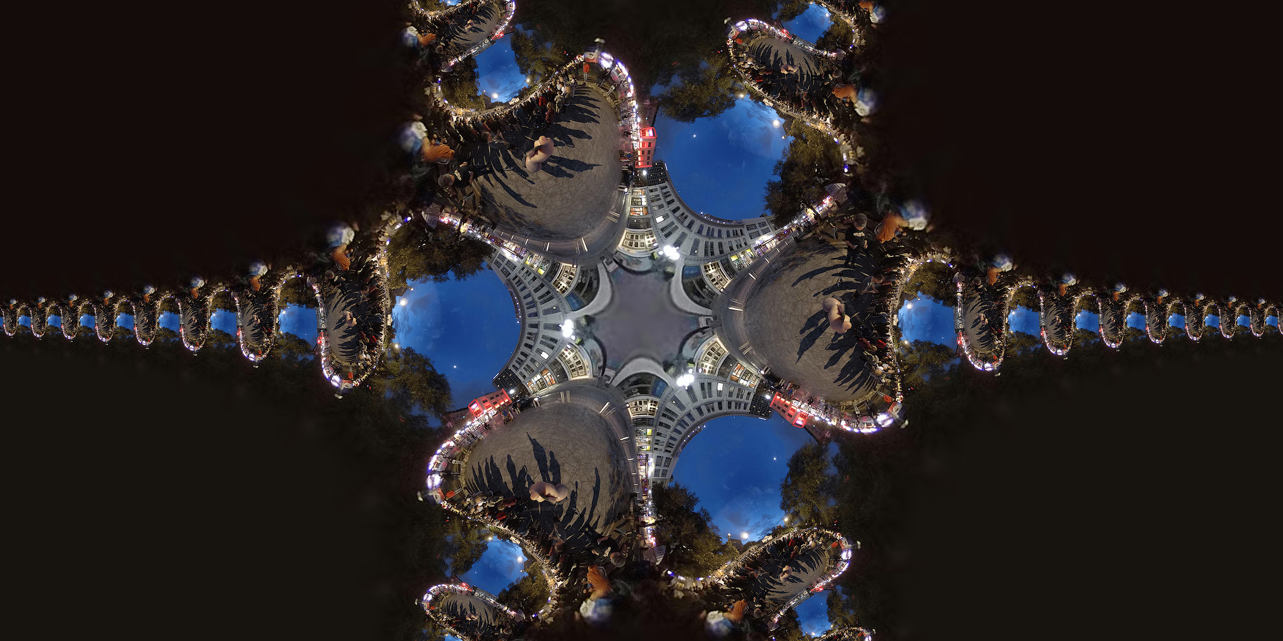
The image above is a modern adaptation of the Mercator Projection using a “cross” pattern. According to wikipedia, “The Mercator projection is a cylindrical map projection presented by the Flemish geographer and cartographer Gerardus Mercator in 1569. It became the standard map projection for nautical purposes because of its ability to represent lines of constant course, known as rhumb lines or loxodromes, as straight segments that conserve the angles with the meridians.” In this case, those projections are distorted and repeat upon themselves based on changes in longitude and latitude the user imposes on the images. The image below, taken at The Alamo, is another form of this projection using a star pattern.

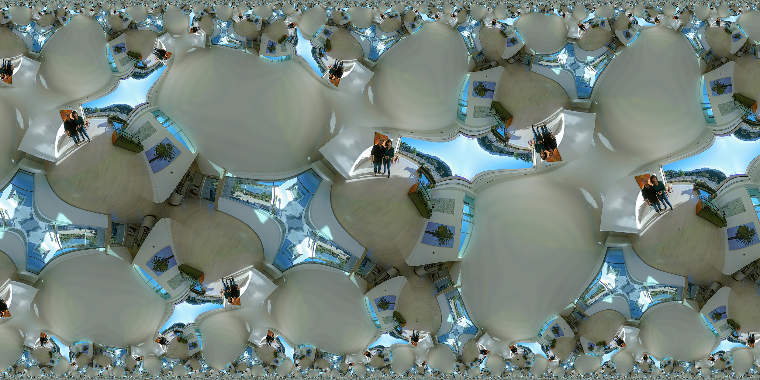
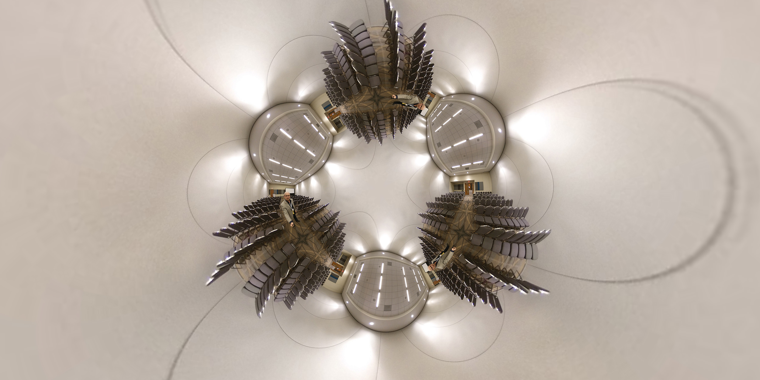
The beauty of a true spherical image is that many projection methods can be used to present the image. The images below use different hyperbolic projections with random latitude, longitude, spin and field of view. I’ve used the Flaming Pear Photoshop Plugins to get to these output examples. I don’t understand the math behind this craziness, but I sure do enjoy the results.


100% OF PROFITS FROM PHOTO SALES ARE DONATED TO YOUTH TRACK & FIELD PROGRAMS!
EXIF Data Below Applies Only To The Featured Photo In This Post
Hi, congratulation on this beautiful experimental work !
I am a 3D artist an was wondering if i could experiment with 360 renders using your technique. Did you use any specific program to achieve this type of projection ?
Looking forward to hear from you !
Best,
Valentin
Valentin, I used the Flaming Pear Photoshop Plugins to get to these output examples. A link is in the post. 🙂